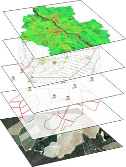
Itís time for a smarter way to view and use your farm maps.
Simple to use, on-line mapping software that allows you to:
- Easily print maps for your staff and contractors to use
- Identify restricted areas and hazards such as slashing, pruning & spraying
- Identify underground services such as mainlines, control cables and sensors
- Overlay aerial images taken from UAVís and satellites that display indices of plant health


Stay tuned for updates as they're released
It's free and you can unsubscribe at any time.

 Weather
 Mapping
 Farm Management
